"Glacial Lake Missoula"Ice Age Lake Missoula
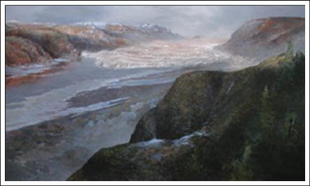
At the end of the last Ice Age (13-15,000 years ago), a finger of the Cordilleran ice sheet crept southward into the Idaho Panhandle, blocking the Clark Fork River and creating Glacial Lake Missoula. As the waters rose behind this 2,000-foot ice dam, they flooded the valleys of western Montana. At its greatest extent, Glacial Lake Missoula stretched eastward a distance of some 200 miles, essentially creating an inland sea. Periodically, the ice dam would fail. These failures were catastrophic, resulting in a large flood of ice- and dirt-filled water that would rush down the Columbia River drainage, across northern Idaho and eastern and central Washington, [cutting the path that would become] the Columbia River Gorge, back up into Oregon's Willamette Valley, and finally pour into the Pacific Ocean at the mouth of the Columbia River. The glacial lake, at its maximum height and extent, contained more than 500 cubic miles of water. When Glacial Lake Missoula burst through the ice dam and exploded downstream, it did so at a rate 10 times the combined flow of all the rivers of the world. This towering mass of water and ice literally shook the ground as it thundered towards the Pacific Ocean, stripping away thick soils and cutting deep canyons in the underlying bedrock. With flood waters roaring across the landscape at speeds approaching 65 miles per hour, the lake would have drained in as little as 48 hours. But the Cordilleran ice sheet continued moving south and blocking the Clark Fork River again and again, creating other Glacial Lake Missoulas. Over thousands of years, the lake filling, dam failure, and flooding were repeated dozens of times, leaving a lasting mark on the landscape of the Northwest. Many of the distinguishing features of the Ice Age Floods remain throughout the region today. Together, these two interwoven stories of the catastrophic floods and the formation of Glacial Lake Missoula are referred to as the "Ice Age Floods." From: U.S. National Park Service Website, Ice Age Floods, 2002 During the Pleistocene Epoch Ice Age, beginning about 2.5 million years ago, virtually all of southwestern Canada was repeatedly glaciated by ice sheets that also covered much of Alaska, northern Washington, Idaho, Montana, and the rest of northern United States. In North America, the most recent glacial event is the Wisconsin glaciation, which began about 80,000 years ago and ended around 10,000 years ago. At the end of the last Ice Age, a finger of the Cordilleran ice sheet crept southward into the Idaho panhandle, forming a large ice dam that blocked the mouth of the Clark Fork River, creating a massive lake 2000 feet deep and containing more than 500 cubic miles of water. Glacial Lake Missoula stretched eastward for some 200 miles and contained more water than Lake Erie and Lake Ontario combined. When the highest of these ice dams failed, lake water burst through, shooting out at a rate 10 times the combined flow of all the rivers This painting gives a hint of the awesome force and volume of the Ice Age Floods. It shows the first rush of a Missoula Flood coming into the lower Columbia River Gorge near Crown Point. The speed of the floods approached 60 mph through the Gorge and 80 mph at Crown Point, reaching about 450 feet above the river height. Beacon Rock is in the distance, with the viewer looking at Crown Point in the right foreground. At maximum flow, the largest of the floods filled the Gorge, overtopping Crown Point. This towering mass of water and ice literally shook the ground as it thundered toward the Pacific Ocean, stripping away hundreds of feet of soil and cutting deep canyons -- "coulees" -- into the underlying bedrock. With flood speeds approaching 65 miles per hour, the lake would have drained in as little as 48 hours. Over time the Cordilleran ice sheet continued moving south and blocked the Clark Fork River again and again, recreating Glacial Lake Missoula. Over approximately 2,500 years, the lake, ice dam and flooding sequence was repeated dozens of times, leaving a lasting mark on the landscape. Today we can see how the floods impacted the landscape. They carved out more than 50 cubic miles of earth, piled mountains of gravel 30 stories high, created giant ripple marks the height of three-story buildings, and picked up 200-ton boulders from the Canadian Rockies and deposited them in the Willamette Valley. Grand Coulee, Dry Falls in Washington State (know to have been the largest falls to have ever existed), Palouse Falls -- all were created by these flood waters, as were the Missoula and Spokane ground-water resources, numerous wetlands and the fertile Willamette Valley and Quincy Basin. |
Blue are Glacial Lakes Missoula in Montana and Columbia in Washington. Red are the Missoula Floods.
|


You may also like. . .
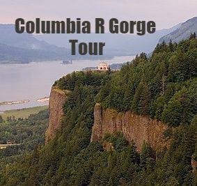
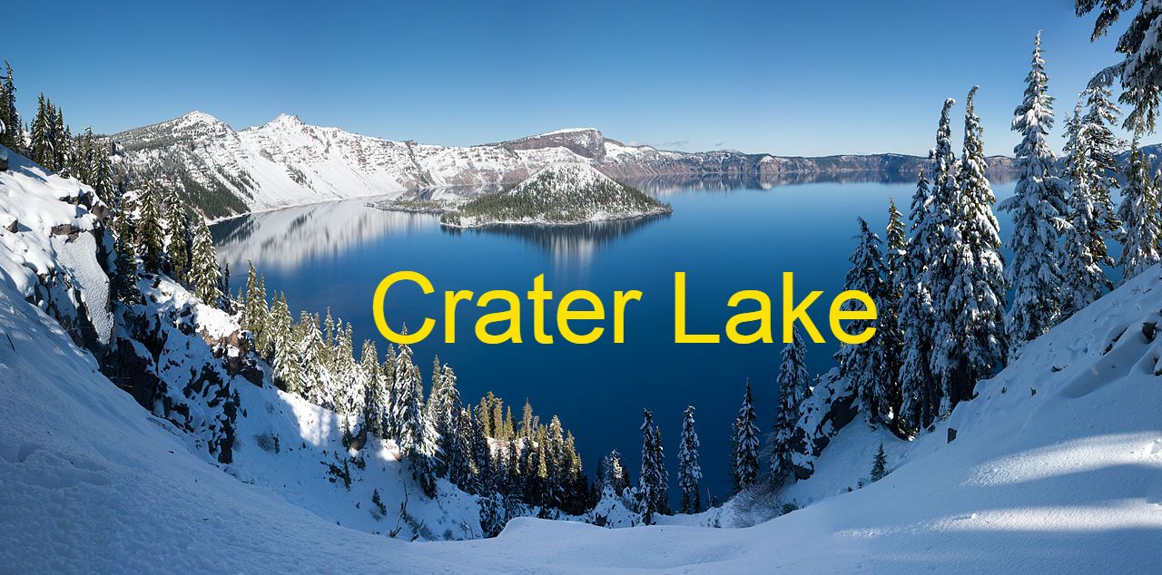
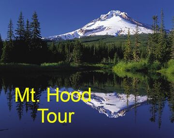
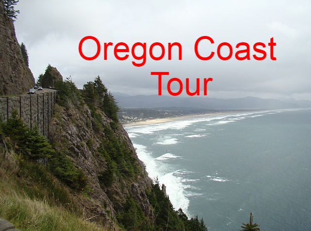
12 Exciting Individual or Combination TOURS; Including 4 Of The 'Seven Wonders of Oregon'*
|

|

|

|


|

|

|
Be Treated Like Royalty...With Special Personalized Attention From Your Chauffeur
"Now Tread We a Measure With My Chauffeur!"
"Now Tread We a Measure With My Chauffeur!"
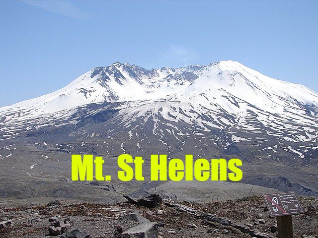
*Photos - Wikimedia GNU Free Documentation License applies. Photo Attributes: Portland City Tour: Author: Cacophony - Columbia River Gorge Tour: Author: Kelvin Kay - Mt. St. Helens: Author: Gripso_Banana_Prune - Oregon Coast Tour: Author: Oregon Dept of Transportation - Distilleries Tour: Author: Visitor7 - Breweries Tour: Author: Person Creations - Mt. Hood Tour: Author: Oregon's Mt Hood Territory - Crater Lake Tour: Author: WolfmanSF

|
© COPYRIGHT 1998-2024 ALL RIGHTS RES.
~POWERED BY MY CHAUFFEUR~ |
My Chauffeur Office Hours - Daily 7am - 9pm (PT)
EMAIL: [email protected] All Pricing On This Website Is Subject to Change Until Confirmed. **Photos - Wikimedia GNU Free Documentation License |
|
503-969-4370
|
TourPortland.com

|
When you ring to make your booking, just let us know what your tour requirements (interests) are and we will do the rest for you.